Share Boulder Junction Phase 2 on FacebookShare Boulder Junction Phase 2 on X (formerly Twitter)Share Boulder Junction Phase 2 on LinkedinEmail Boulder Junction Phase 2 link
Check out the current engagement opportunities to learn more about the Open House online questionnaire that supplements the in-person event held on May 17!
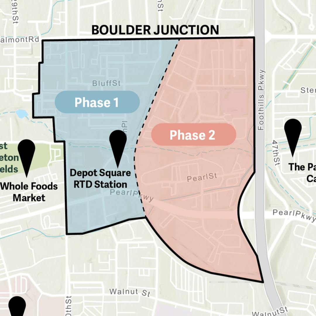
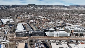
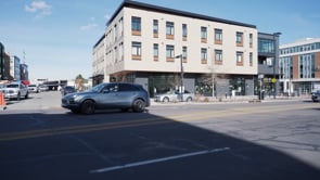
Background. In 2007, the City of Boulder completed the Transit Village Area Plan (TVAP) outlining the future for Boulder Junction, a 160-acre area located in the geographic center of Boulder, around 30th Street, Pearl Street, Valmont Road and Foothills Parkway. The plan anticipated the development of new transit facilities and established a vision for the area to evolve into a lively, mixed-use, pedestrian-oriented place where people will live, work, shop and access regional transportation. The plan identified two phases of development:
Phase 1 for the area west of the existing railroad tracks
Phase 2 for the area east of the tracks.
Now, 15 years after the plan was adopted, the first phase is nearing completion, and it is the city’s priority to implement Phase 2.
Community Feedback. Staff is engaging the community in a variety of ways to gather feedback on land use, mobility, urban design and character of the area and implementation strategies for the Phase 2 area. Visit the project website for more details.
At this stage in the project, the city will use your feedback to help shape alternatives that could be considered for potential updates to the Transit Village Area Plan’s:
(i) proposed land use,
(ii) transportation connections, and
(iii) urban design and character of Boulder Junction.
Check out the current engagement opportunities to learn more about the Open House online questionnaire that supplements the in-person event held on May 17!
Background. In 2007, the City of Boulder completed the Transit Village Area Plan (TVAP) outlining the future for Boulder Junction, a 160-acre area located in the geographic center of Boulder, around 30th Street, Pearl Street, Valmont Road and Foothills Parkway. The plan anticipated the development of new transit facilities and established a vision for the area to evolve into a lively, mixed-use, pedestrian-oriented place where people will live, work, shop and access regional transportation. The plan identified two phases of development:
Phase 1 for the area west of the existing railroad tracks
Phase 2 for the area east of the tracks.
Now, 15 years after the plan was adopted, the first phase is nearing completion, and it is the city’s priority to implement Phase 2.
Community Feedback. Staff is engaging the community in a variety of ways to gather feedback on land use, mobility, urban design and character of the area and implementation strategies for the Phase 2 area. Visit the project website for more details.
At this stage in the project, the city will use your feedback to help shape alternatives that could be considered for potential updates to the Transit Village Area Plan’s:
(i) proposed land use,
(ii) transportation connections, and
(iii) urban design and character of Boulder Junction.