Boulder's current approach to bikeway wayfinding
The city’s current bike wayfinding family is comprised of blue and green Boulder bikeway signs that identify and communicate the city’s bike facility types: on-street bike routes (shared lanes with vehicles), on- and off-street bike lanes, and off-street multi-use paths.
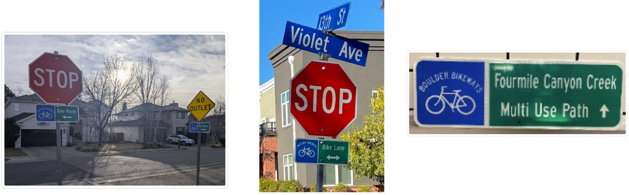
Green destination signs are coupled with blue bikeway signage to provide turn information and distance to other bike routes, general areas of the city, and nearby key destinations like parks and schools.
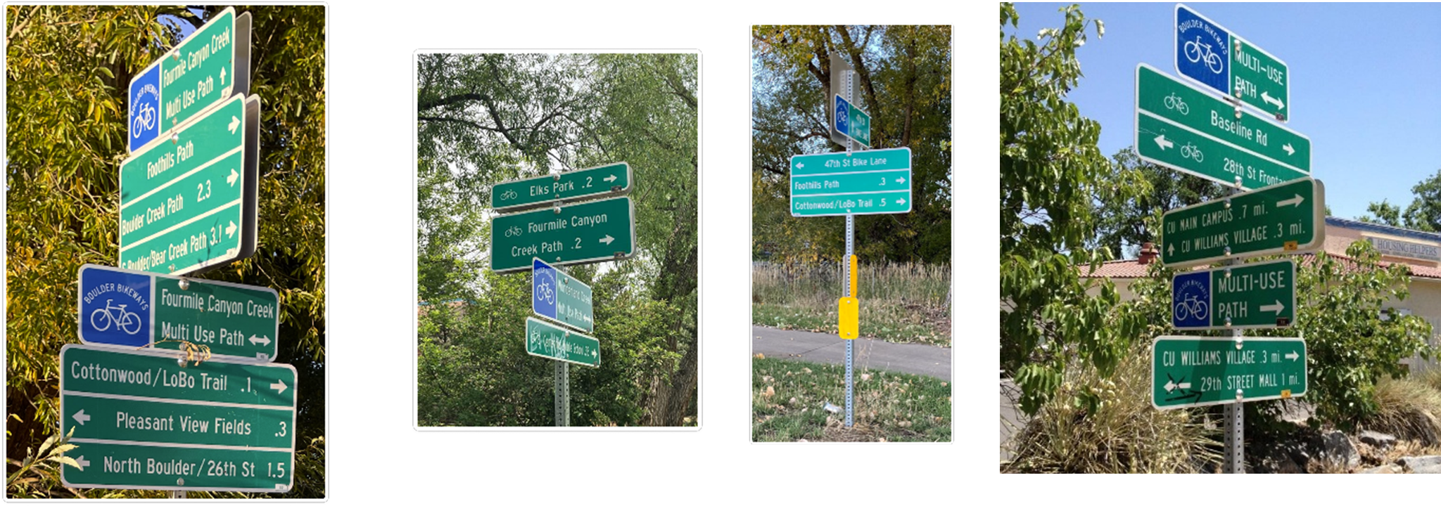
Bikeway and destination signage is most commonly placed at intersections: decision-points for people to continue on their current route or turn to a different route or destination. We typically install signage on existing signposts, with signs for multiple directions placed on the same signpost to limit the number of signposts needed and minimize installation and maintenance costs.
Standard blue and green colors and bike symbols follow national standards for roadway signage. Our Transportation & Mobility Department can make and maintain these signs, which reduces costs.
Why are we updating wayfinding signage?
We have heard feedback that current bikeway signage is sometimes confusing and may not be the most useful for someone to make decisions about which route to take to travel to a specific destination. For example:
- Wayfinding signage currently uses different terms, like “Bike Route,” “Bike Lane” and “Boulder Bikeways”.
- Some signs point to bikeways without naming accompanying destinations the route can take people to.
- Current wayfinding is often incomplete, with signage gaps along routes. You may see a sign for a turn to a destination but may not see a sign confirming you are on the right route or a sign indicating the next turn you need to make to reach the destination.
This project identifies a new approach to bikeway and destination wayfinding in the city. Continue to the next page to learn more about the proposed approach.
